CONOPS
Every project starts with the mission. HWC translates operational needs into a complete technical and operational concept – defining the right platform, sensors, systems and support structure before procurement begins.
 COMPLETE OPERATIONAL DESIGN
Complete operational design.
Operational requirement analysis
What the operator needs to achieve, what constraints frame the decision and what the operational environment demands.
CONOPS & mission profiles
Concepts of operations, workflows, crew structures and deployment strategies – mission profile, endurance and communications defined first.
Platform & sensor selection
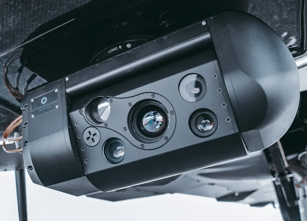
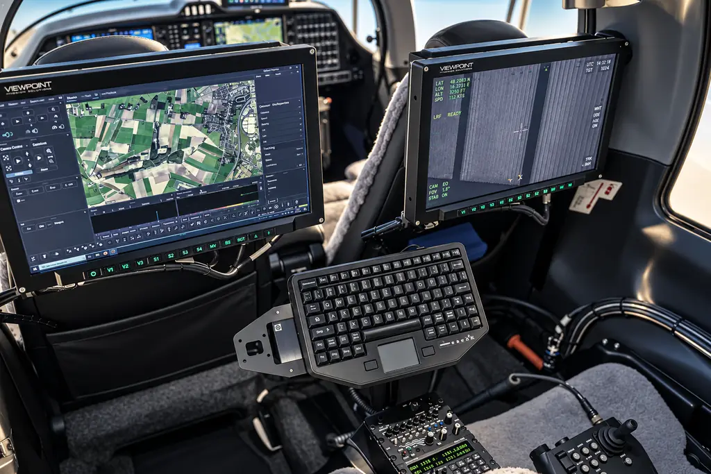
Aircraft, sensors and mission systems compared across the market and matched to the mission profile – independent of any manufacturer.
Capability & lifecycle planning
Training, maintenance, upgrades and support structure planned in from the start, so the capability stays operational.
CONOPS: Concept of Operations
From mission to capability stack.
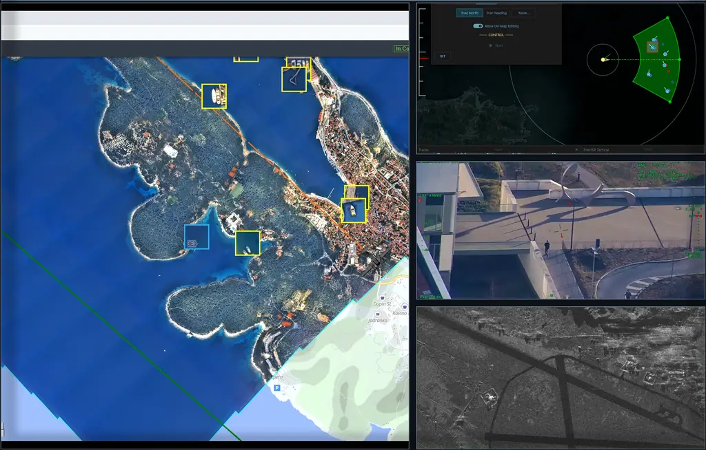
Choose a mission. The stack shows the kind of sensor suite and ground segment its CONOPS typically starts from.
Border surveillance
Rivers, coastlines, forests and remote regions: wide-area coverage with fast identification of relevant activity.
Drag the points to adjust
- Requirement
- DA62 MPP
Gaps · DA62 MPP
- Wide-area coverage-20
- Close-range access-10
Indicative starting point. Every HWC CONOPS is defined from the actual operational requirement.
The platform follows the capability – never the reverse.Platform-agnostic, mission-driven